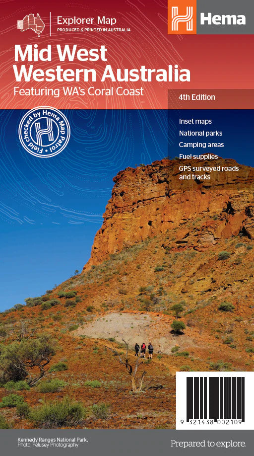
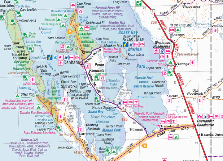
HEMA - Mid West Western Australia Map
HEMA - Mid West Western Australia Map is backordered and will ship as soon as it is back in stock.
Couldn't load pickup availability
Care information
Care information
Every order is carefully hand-packed and inspected to ensure it arrives safe, secure, and in perfect condition.
Delivery and Shipping
Delivery and Shipping
We ship Australia-wide using trusted carriers including Australia Post and Direct Freight Express.
Fast Dispatch: Orders are typically processed within 1–2 business days.
Tracking Included: All parcels come with tracking for peace of mind.
Reliable Service: We choose carriers based on speed, reliability, and coverage.
Delivery Options: Standard and express options available at checkout.
For more details or specific delivery questions, feel free to contact our team.
Description
Description
HEMA - Mid West Western Australia Map
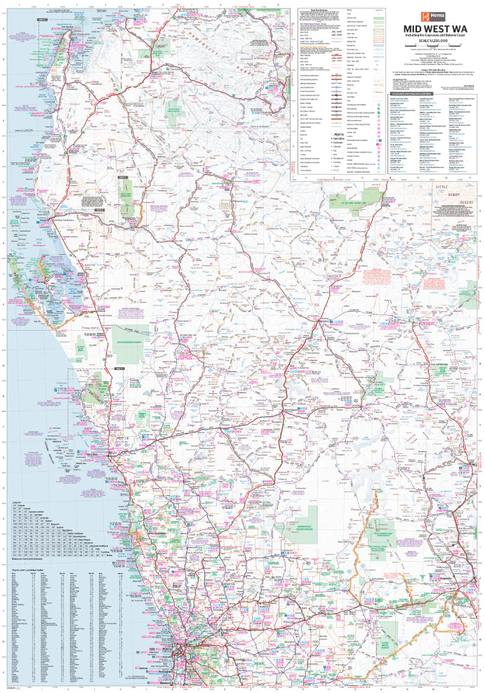
Embark on an exploration of the captivating Mid West region of Western Australia with the HEMA Mid West Western Australia Map – your comprehensive guide to the diverse landscapes and attractions spanning from Cape Range National Park to Mandurah and extending to Kalgoorlie. With a detailed scale of 1:1,250,000, this regional map is your essential companion for discovering the hidden gems of this vast and enchanting area.
Key Features:
-
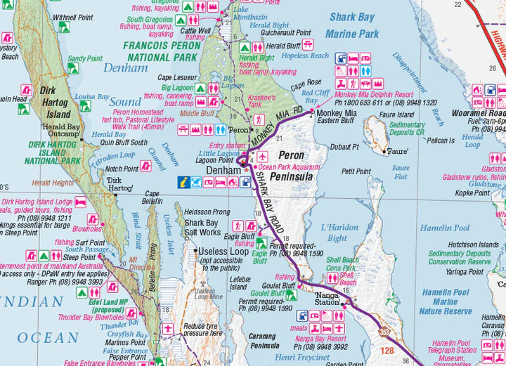
Detailed Mapping: Explore the region with confidence using our meticulously detailed map that covers a vast expanse, from Cape Range National Park to Mandurah and Kalgoorlie. With GPS surveyed roads and tracks, navigate the Mid West with ease and precision.
-
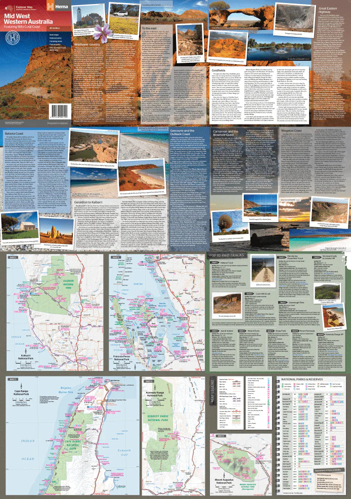
Touring Information: The reverse side of the map is filled with invaluable touring information, providing insights into Wildflower Country, Goldfields, Batavia Coast, Geraldton to Kalbarri, Gascoyne and the Outback Coast, Carnarvon and the Blowhole Coast, as well as the Great Eastern Highway. Each section offers a wealth of knowledge to enhance your journey.
-
Inset Maps: Dive deeper into specific areas of interest with detailed inset maps for Cape Range National Park, Kalbarri National Park, Francois Peron National Park, Kennedy Range National Park, and Mount Augustus National Park. These insets ensure you have a closer look at key locations along your route.
-
Top 10 4WD Tracks: For the adventurous spirit, discover the Top 10 4WD Tracks, including the Holland Track, Cave Hill Circuit, Jaurdi Station, Mount Elvire, Mundaring Powerlines Track, Stockyard Gully & Leseur National Park, Greenough River, Steep Point, Peron Peninsula, and Kennedy Range National Park. Each track is detailed with grading, map reference, permits and fees, distances, contact details, things to do, and important warnings.
Whether you're a seasoned traveler or an avid explorer, the HEMA Mid West Western Australia Map is your key to unlocking the wonders of this remarkable region. With camping areas, national parks, fuel supplies, and facility symbols marked on the map, as well as insightful touring information, this map is a must-have for planning and experiencing the ultimate Mid West adventure. Order now and set out on a journey of discovery in Western Australia's Mid West.
Payment & Security
Payment methods
Your payment information is processed securely. We do not store credit card details nor have access to your credit card information.

