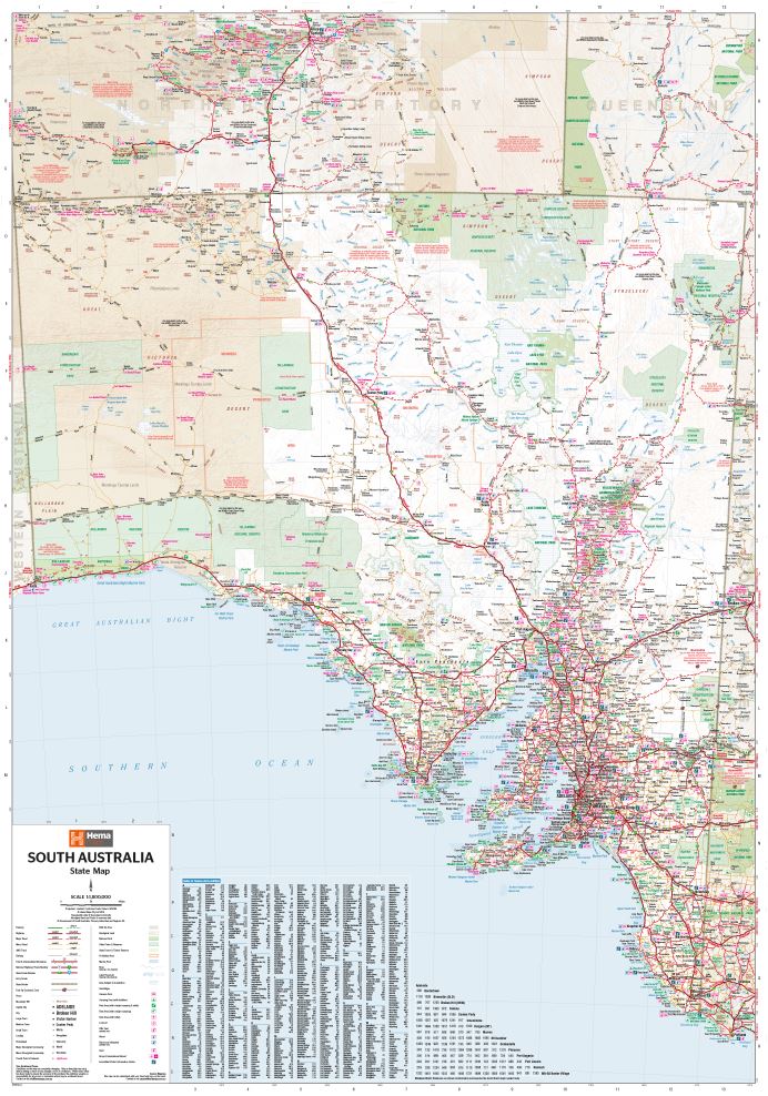
HEMA Map - South Australia State Map
HEMA Map - South Australia State Map is backordered and will ship as soon as it is back in stock.
Couldn't load pickup availability
Care information
Care information
Every order is carefully hand-packed and inspected to ensure it arrives safe, secure, and in perfect condition.
Delivery and Shipping
Delivery and Shipping
We ship Australia-wide using trusted carriers including Australia Post and Direct Freight Express.
Fast Dispatch: Orders are typically processed within 1–2 business days.
Tracking Included: All parcels come with tracking for peace of mind.
Reliable Service: We choose carriers based on speed, reliability, and coverage.
Delivery Options: Standard and express options available at checkout.
For more details or specific delivery questions, feel free to contact our team.
Description
Description
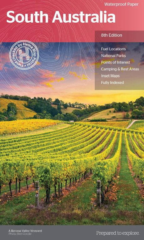
HEMA Map - South Australia State Map
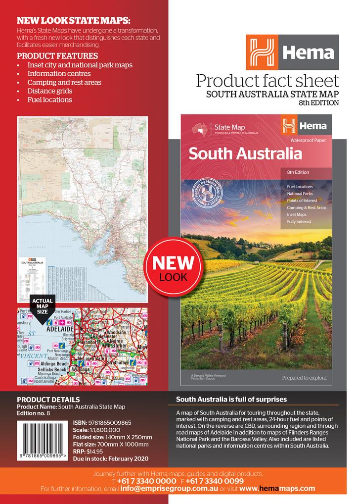
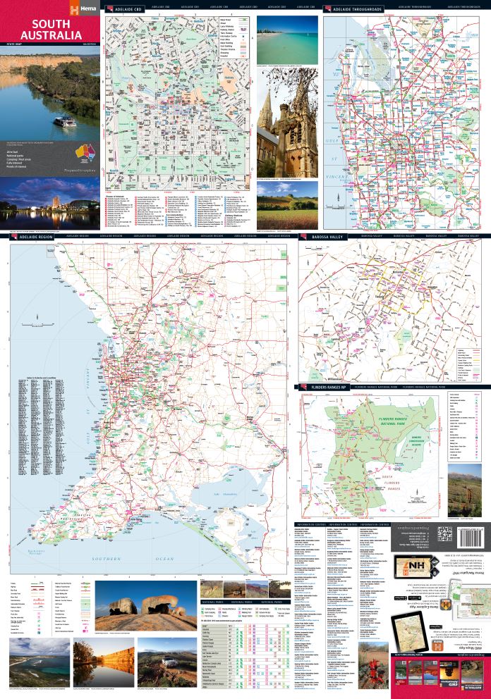
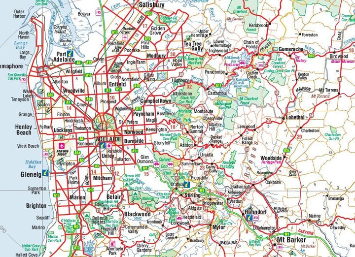
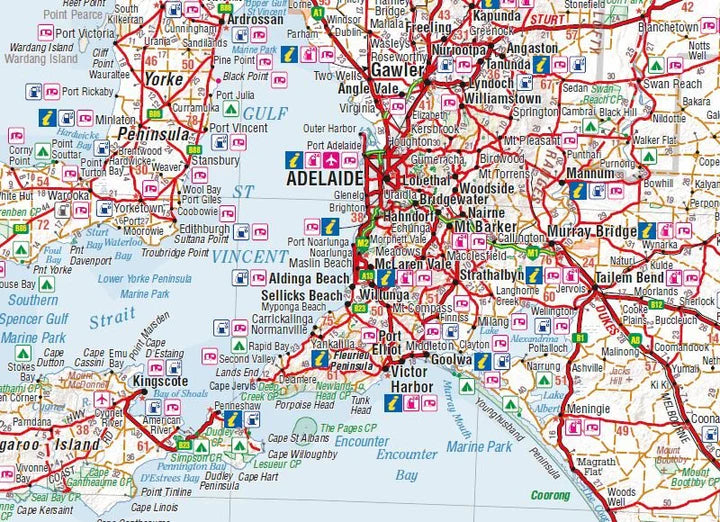
A map of South Australia for touring throughout the state, marked with camping and rest areas, 24-hour fuel and points of interest. On the reverse are CBD, surrounding region and through road maps of Adelaide in addition to maps of Flinders Ranges National Park and the Barossa Valley. Also included are listed national parks and information centres within South Australia.
Key Features
- Inset city and national park maps
- Information Centres
- Camping & Rest Areas
- Distance grids
- Fuel locations
- Points of interest
- Fully Indexed
Key Specifications
Edition: 8th
Publication Date: 20/10/14
Scale: 1:1,800,000
Folded size (WxHxD): 140mm X 250mm x 3mm
Flat size (WxH): 700mm X 1000mm
Weight: 0.09kgs
Payment & Security
Payment methods
Your payment information is processed securely. We do not store credit card details nor have access to your credit card information.

